If you’re new to the area, or maybe even if you’re not, here a few special places to visit sometime.
The Narrows Bridge
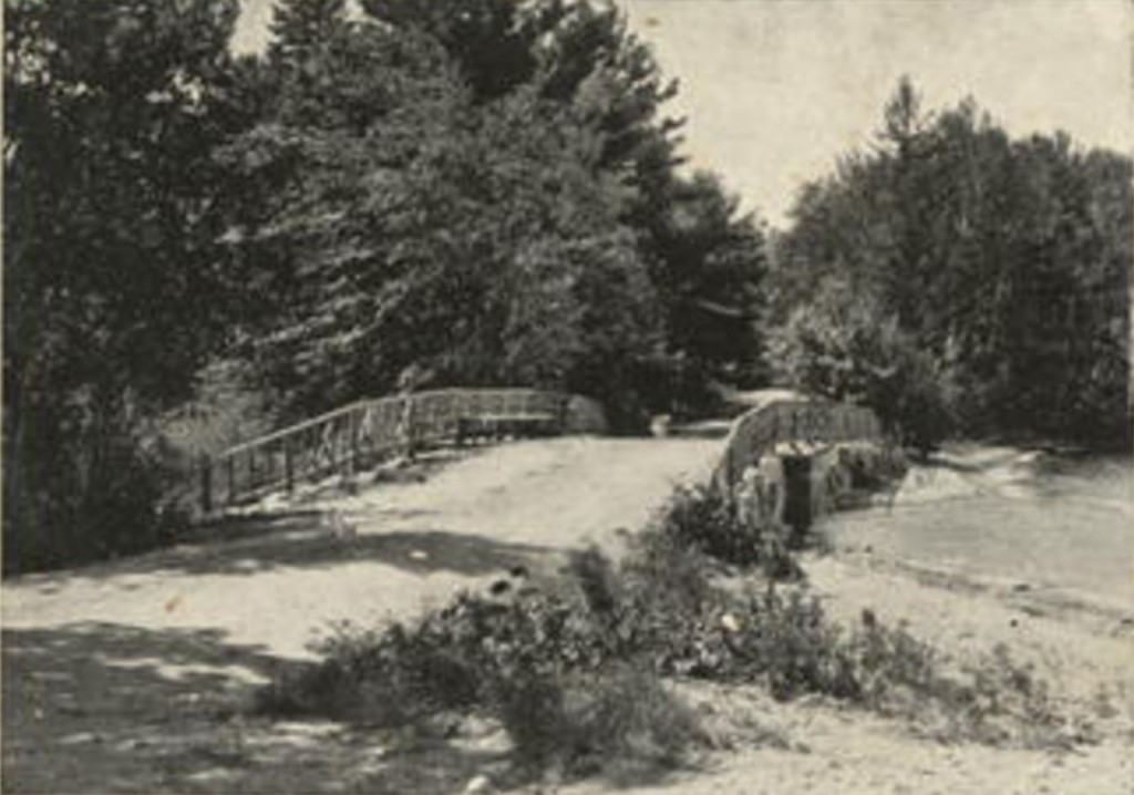
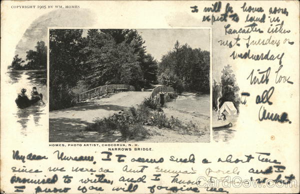
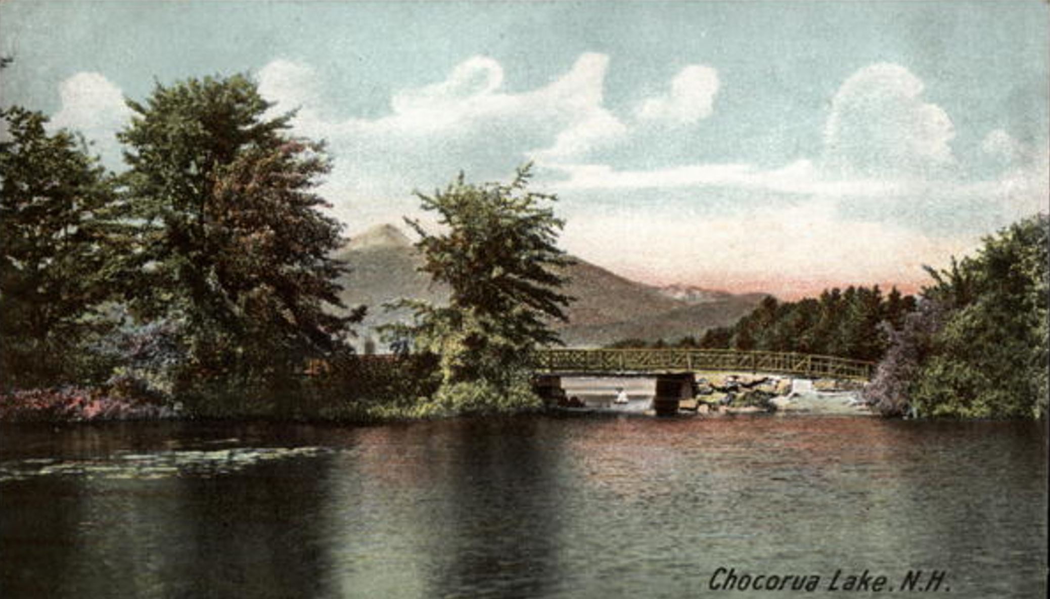
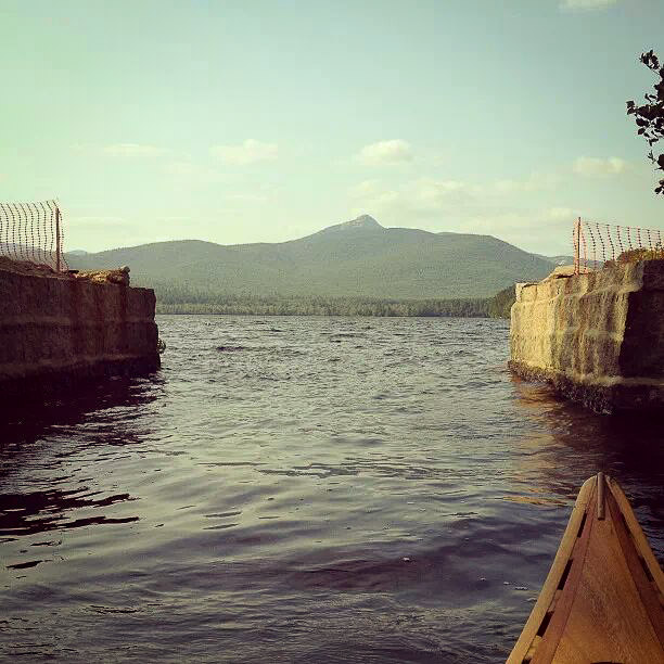
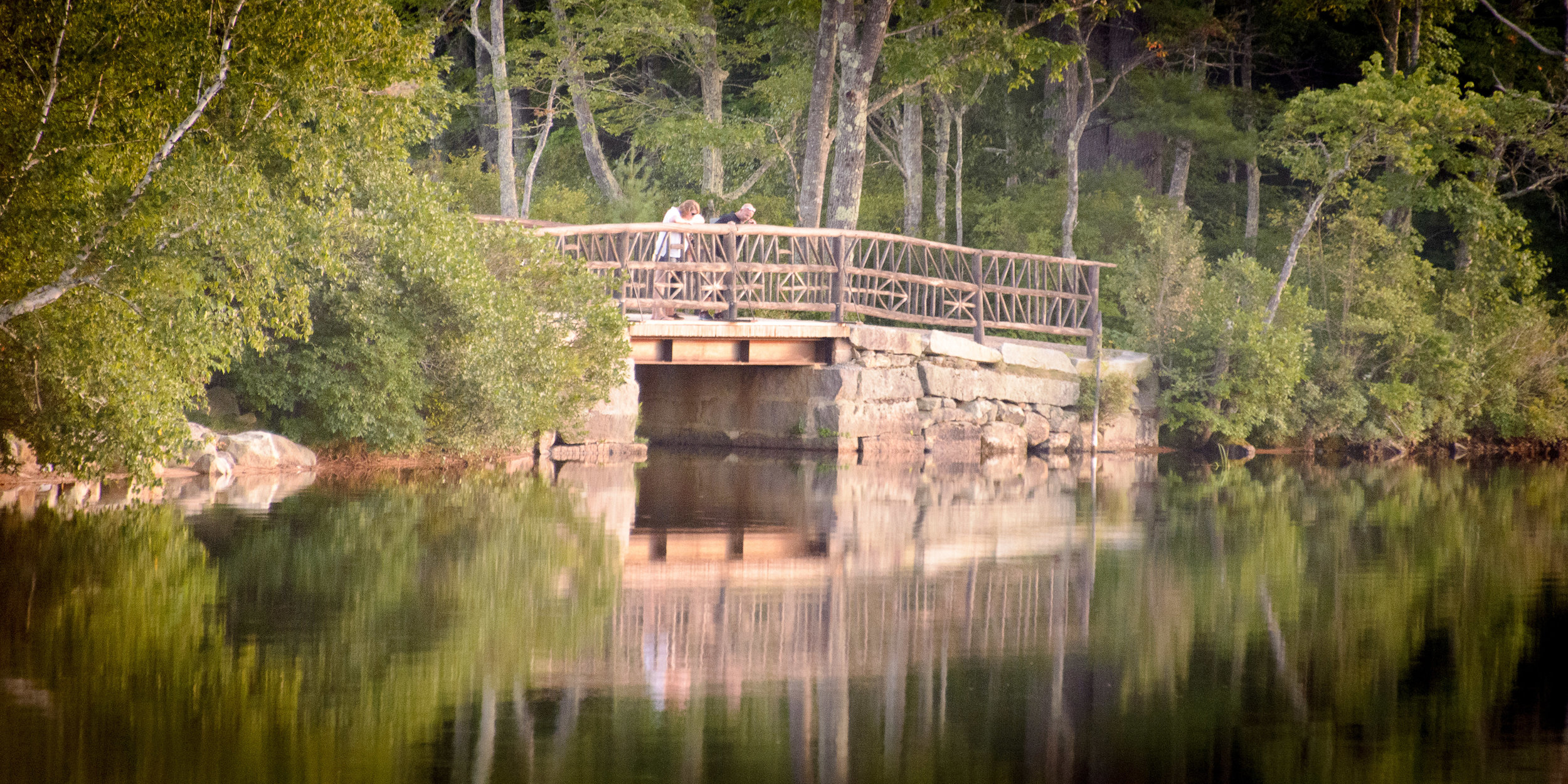
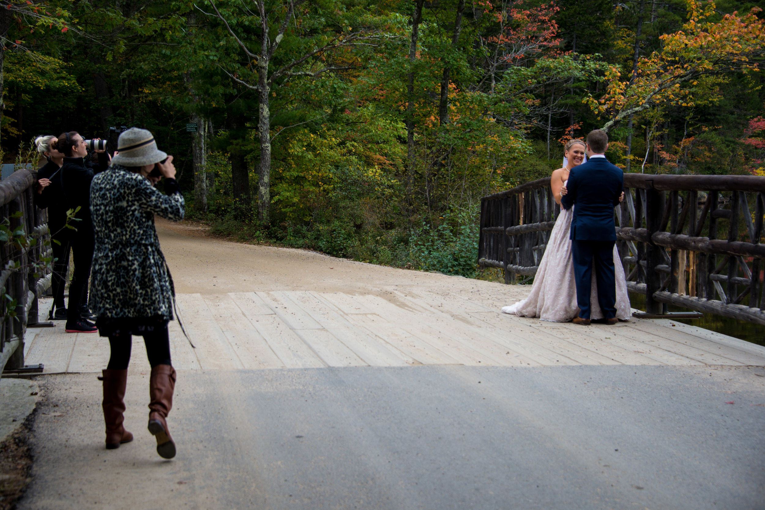
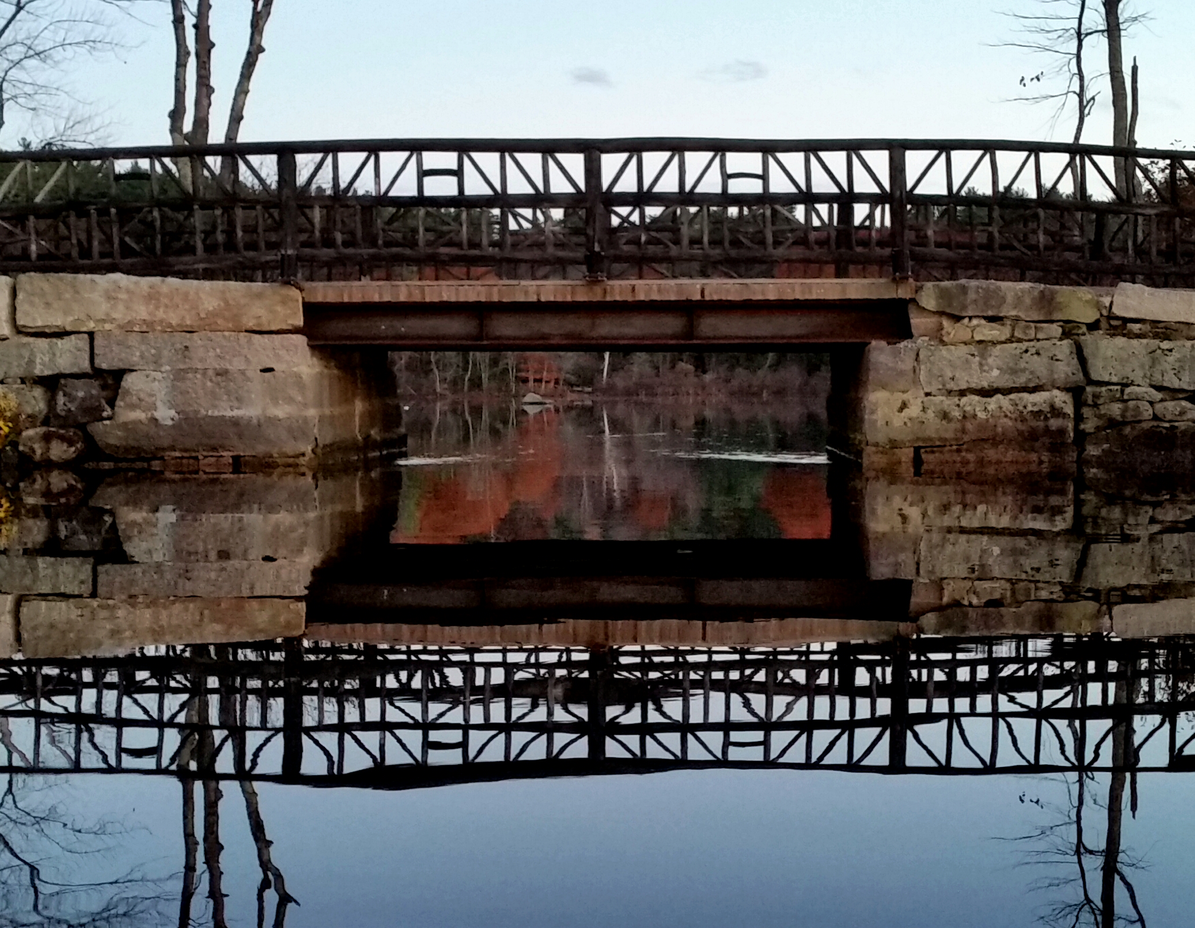
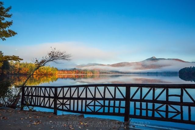
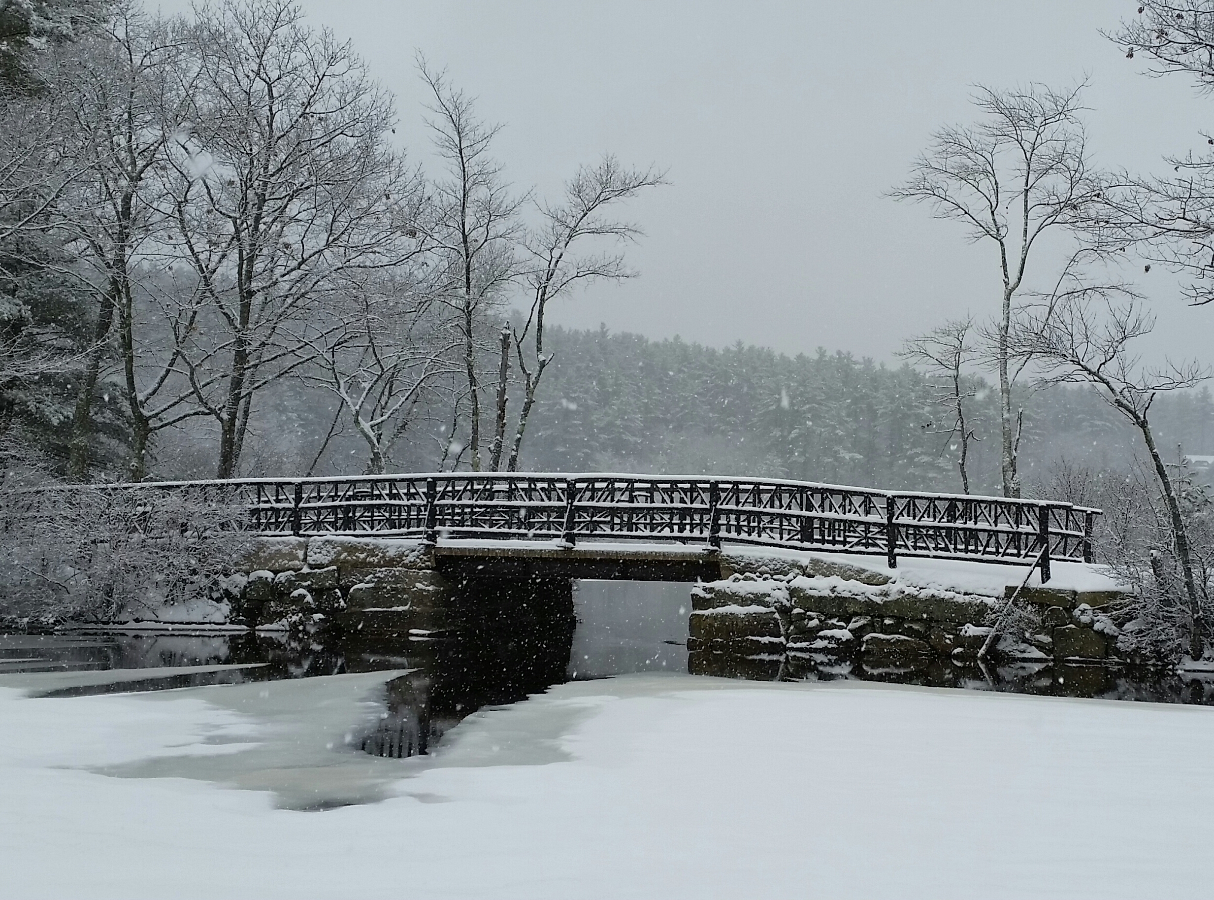
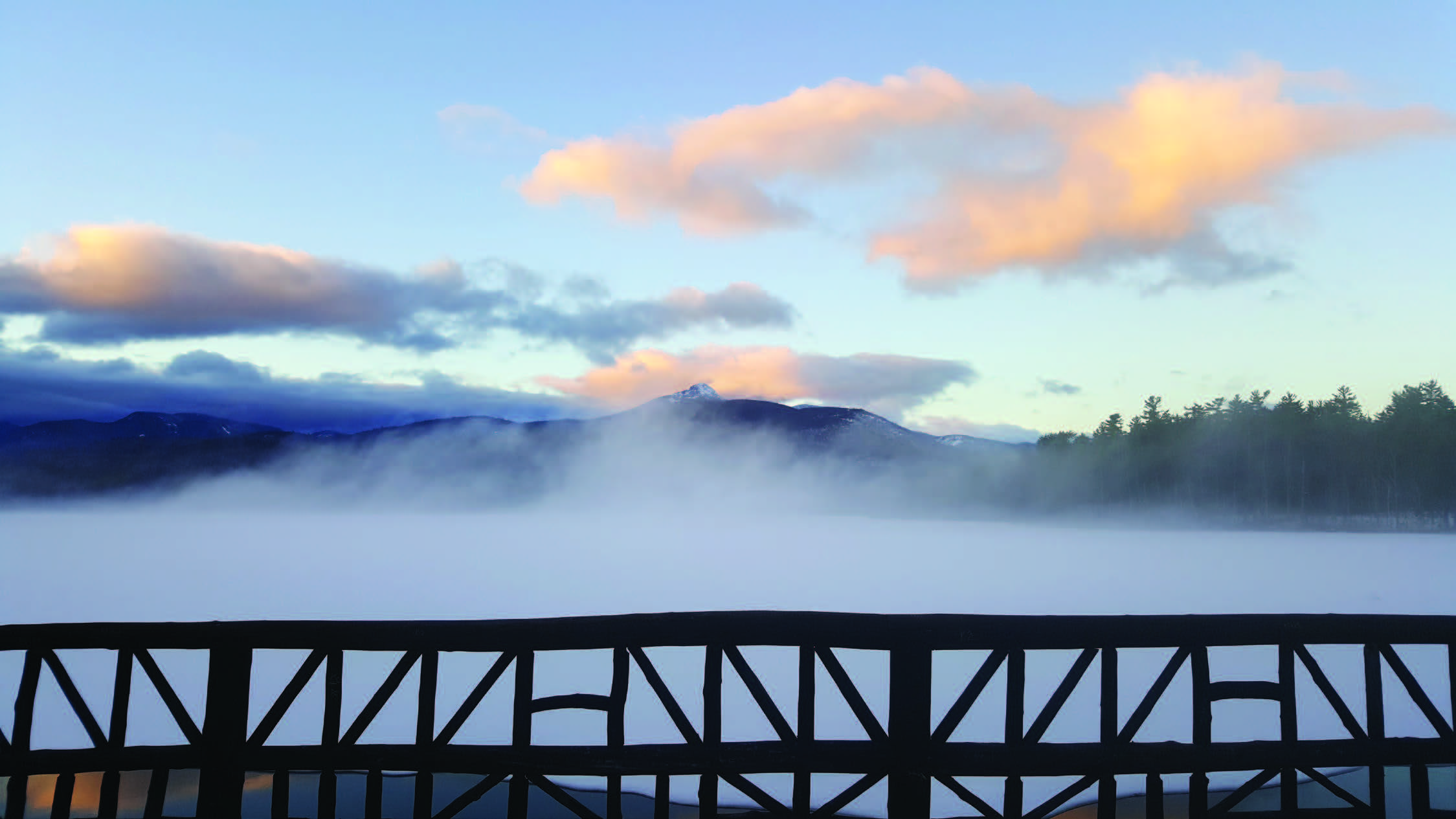
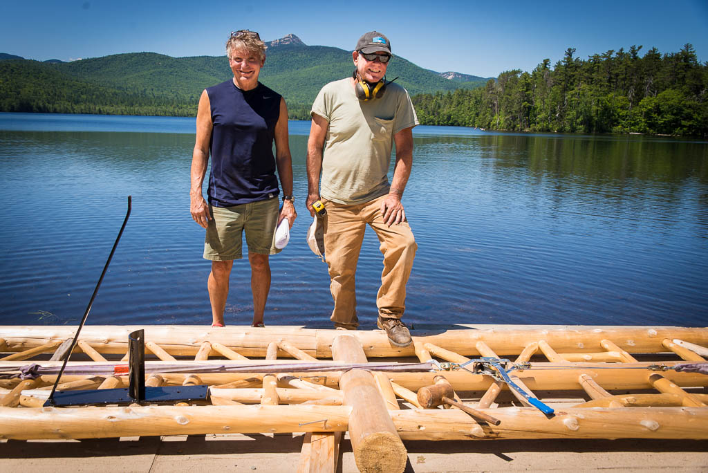
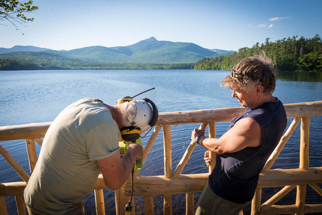
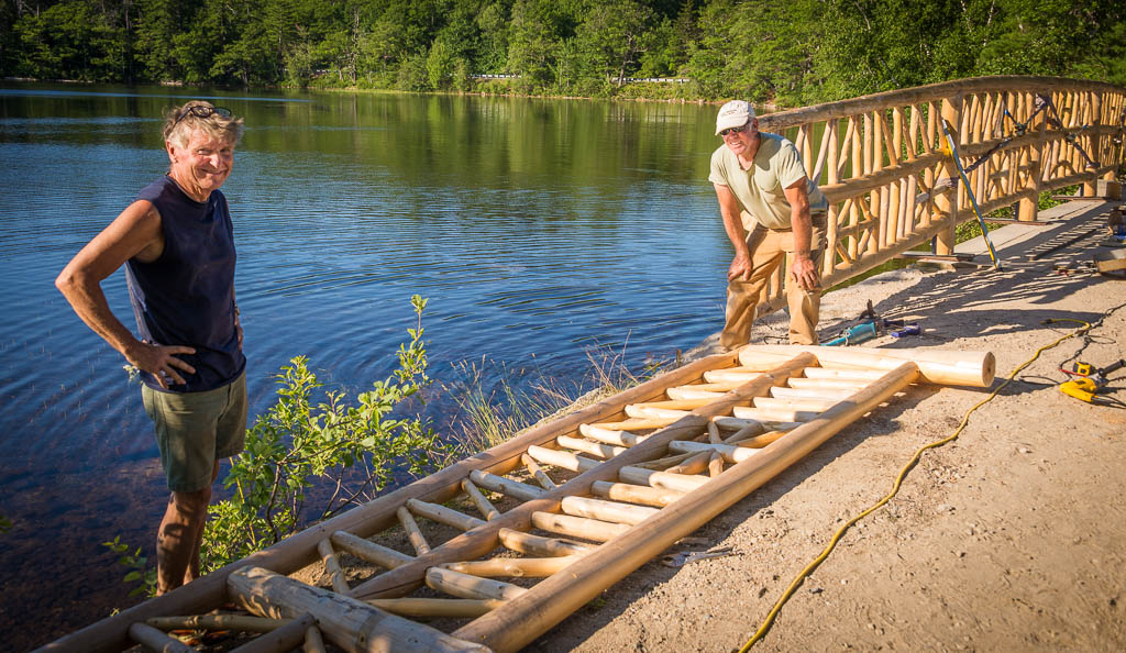
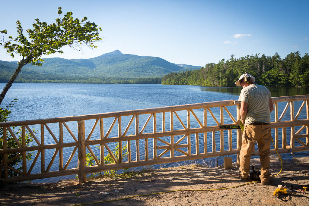
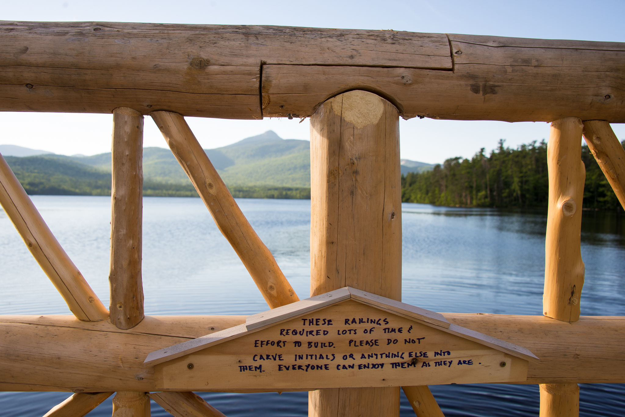
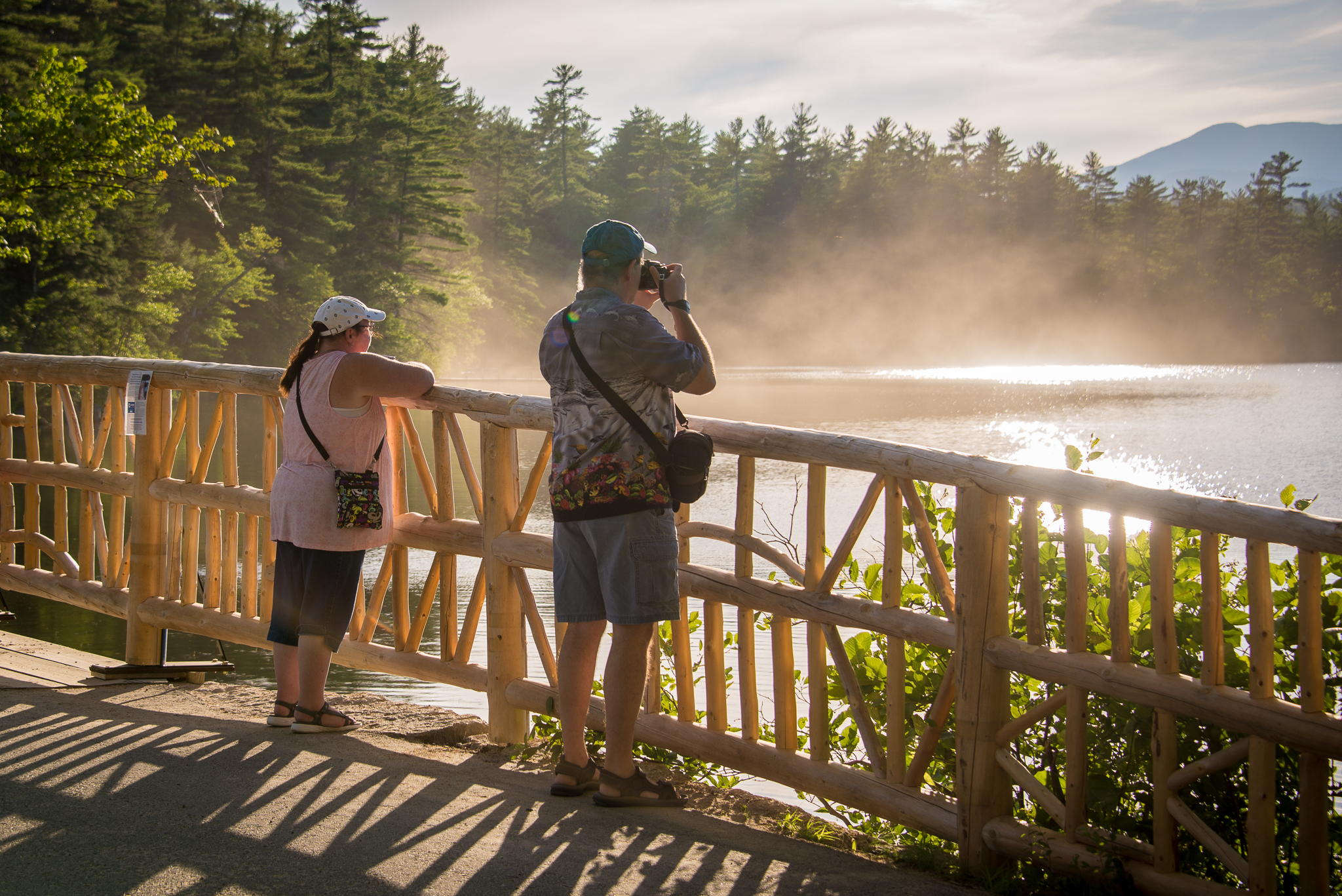
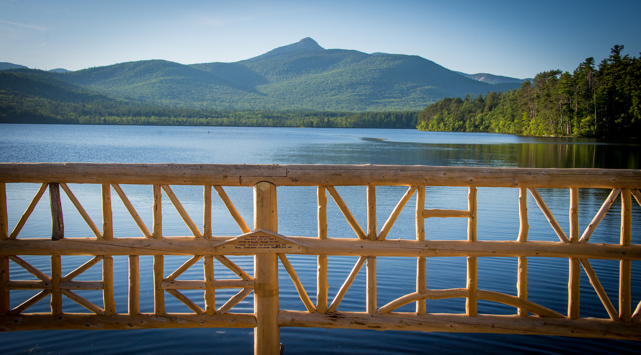
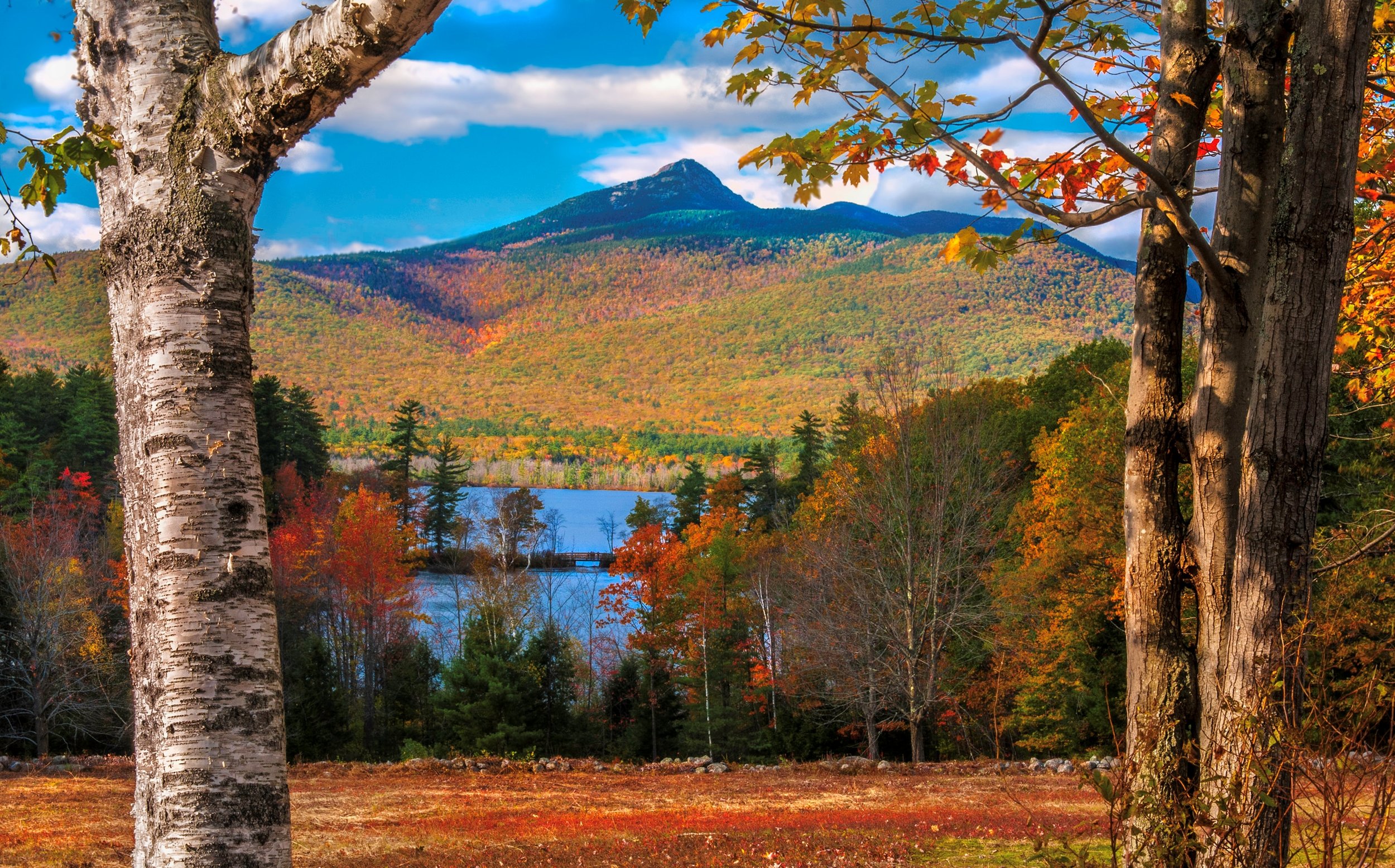
The Narrows Bridge is located at the south end of Chocorua Lake and crosses over the outlet into Little Chocorua Lake. The rustic character of the Narrows Bridge and its picturesque setting make it one of the most photographed scenes in New Hampshire. The bridge's setting captures an unparalleled view of Chocorua Lake and Mount Chocorua, which from the outset the bridge's design and appearance were intended to complement. Many a wedding photograph has been taken here! Read more about the history of the Narrows Bridge here.
“It is possible to start married life on the Narrows Bridge, and to visit it every year for half a century afterward, to retouch and reaffirm the spirit of the lake, and of their fervent vows. It is possible some days just to float—in a little kayak, in your soft human skin—above those narrow parts of life and to be held, somehow, aloft by the lake.”
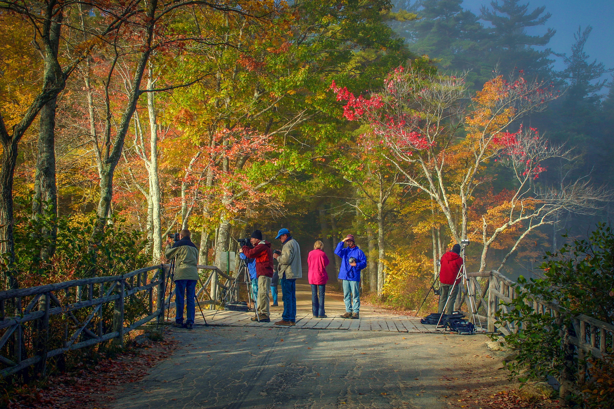
The Basin View Lot
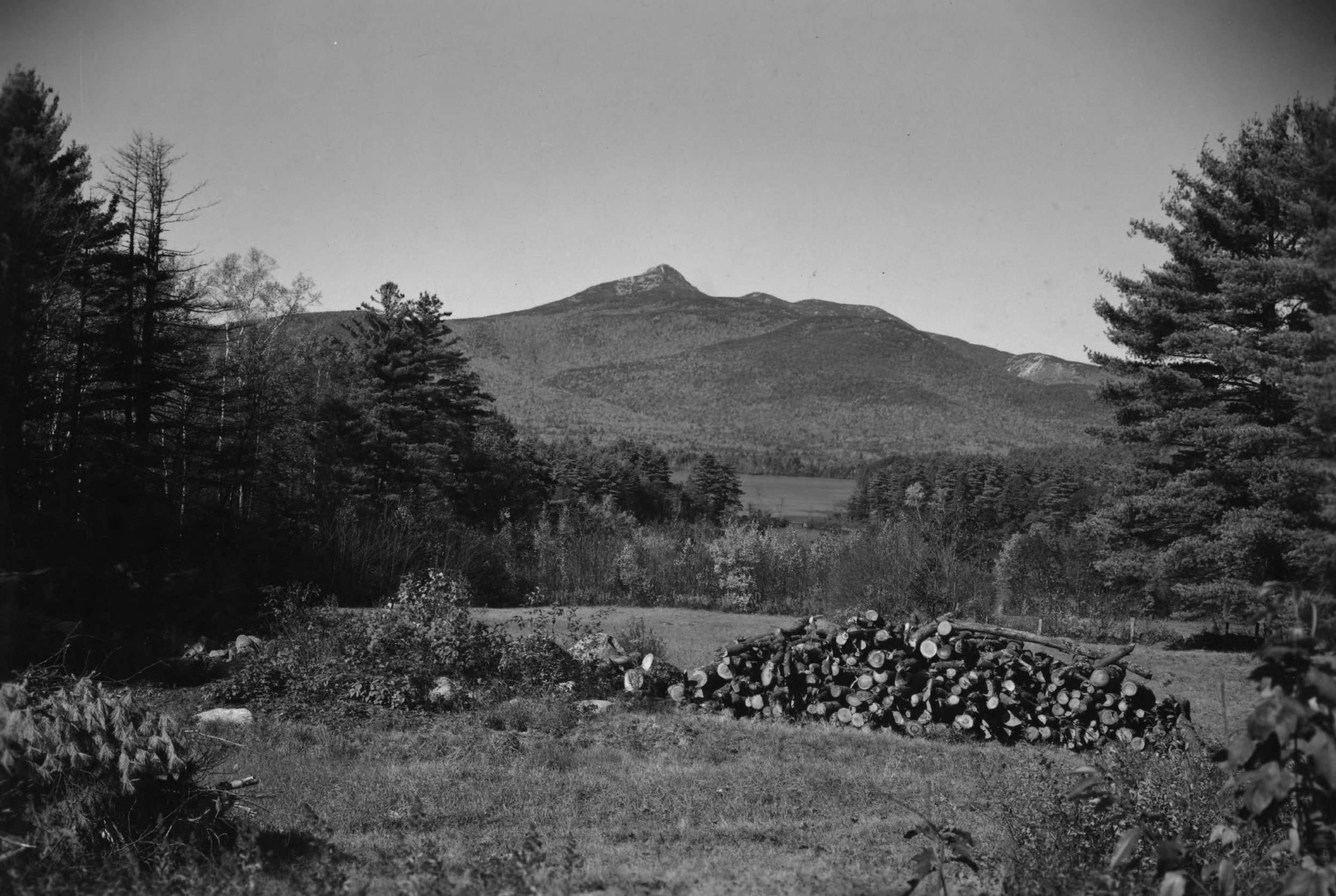
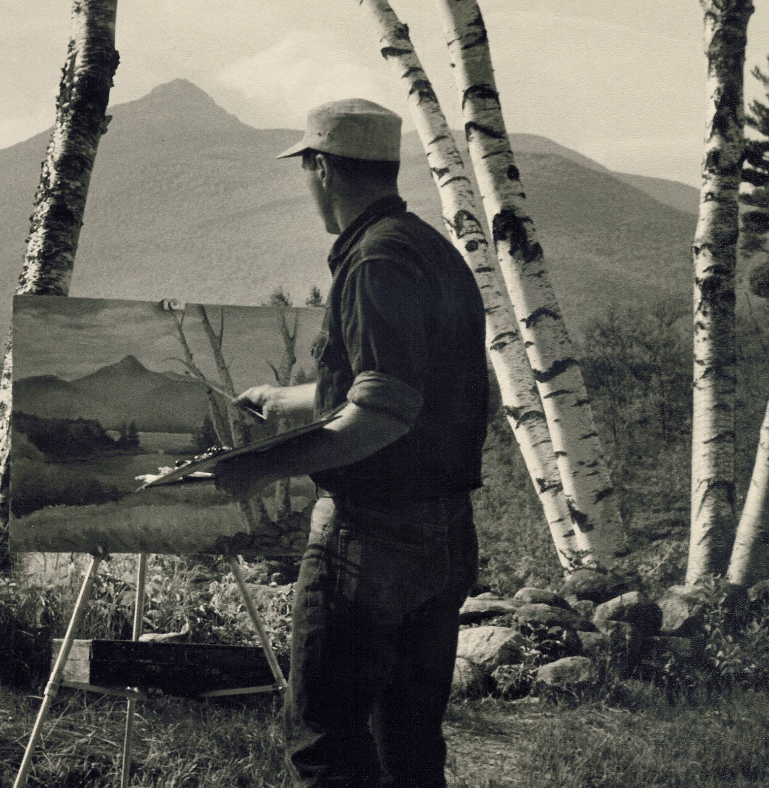
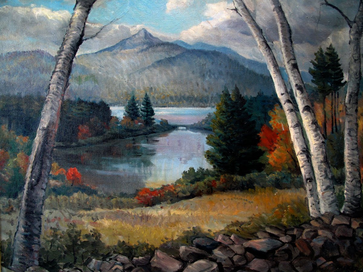
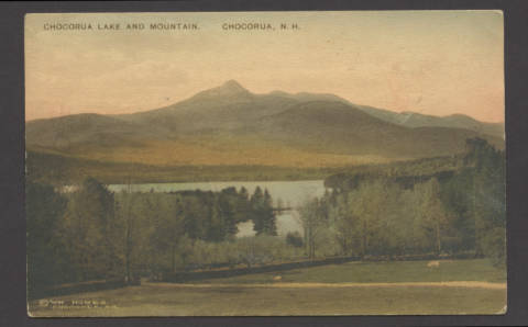
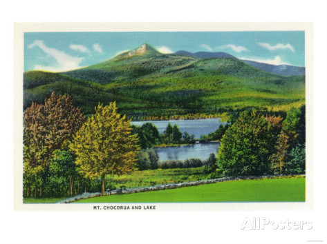
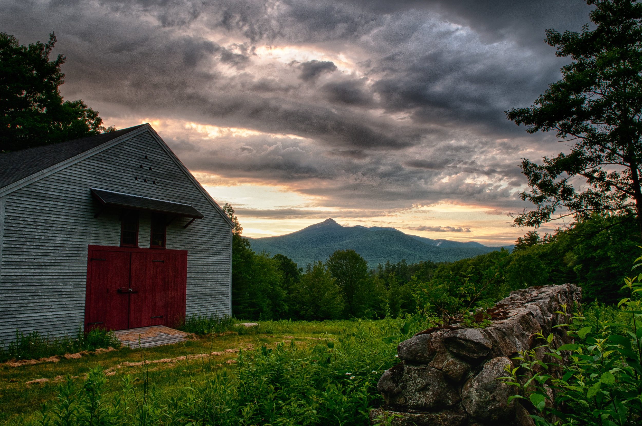
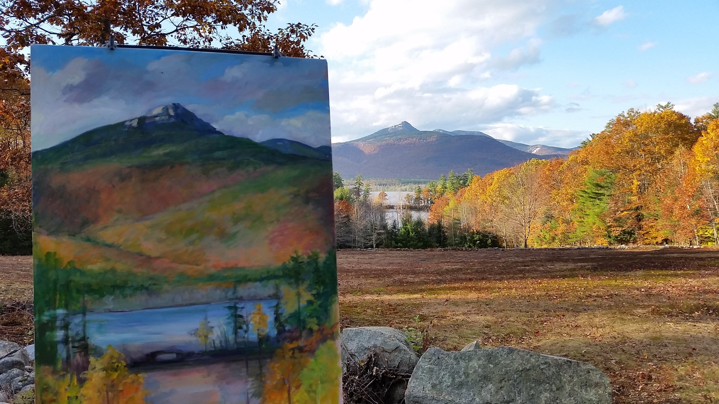
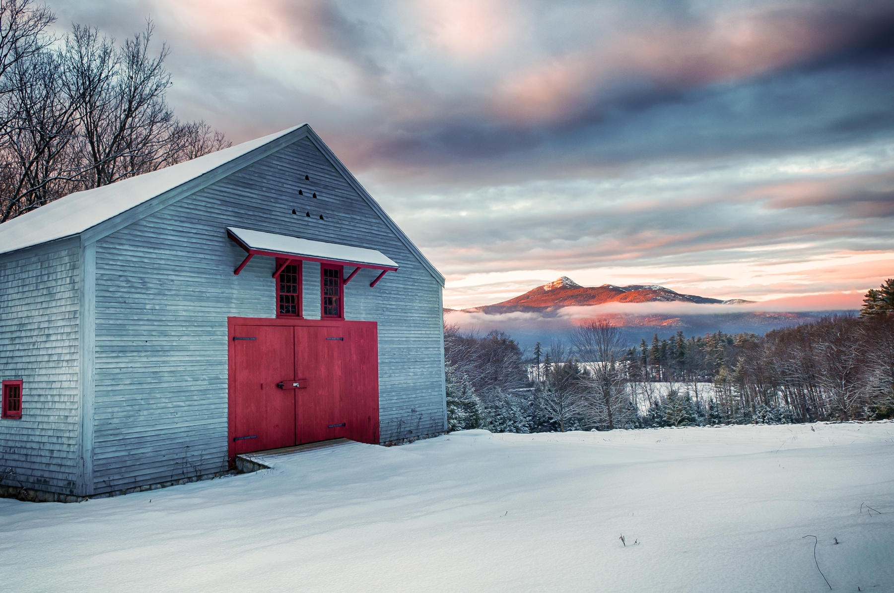
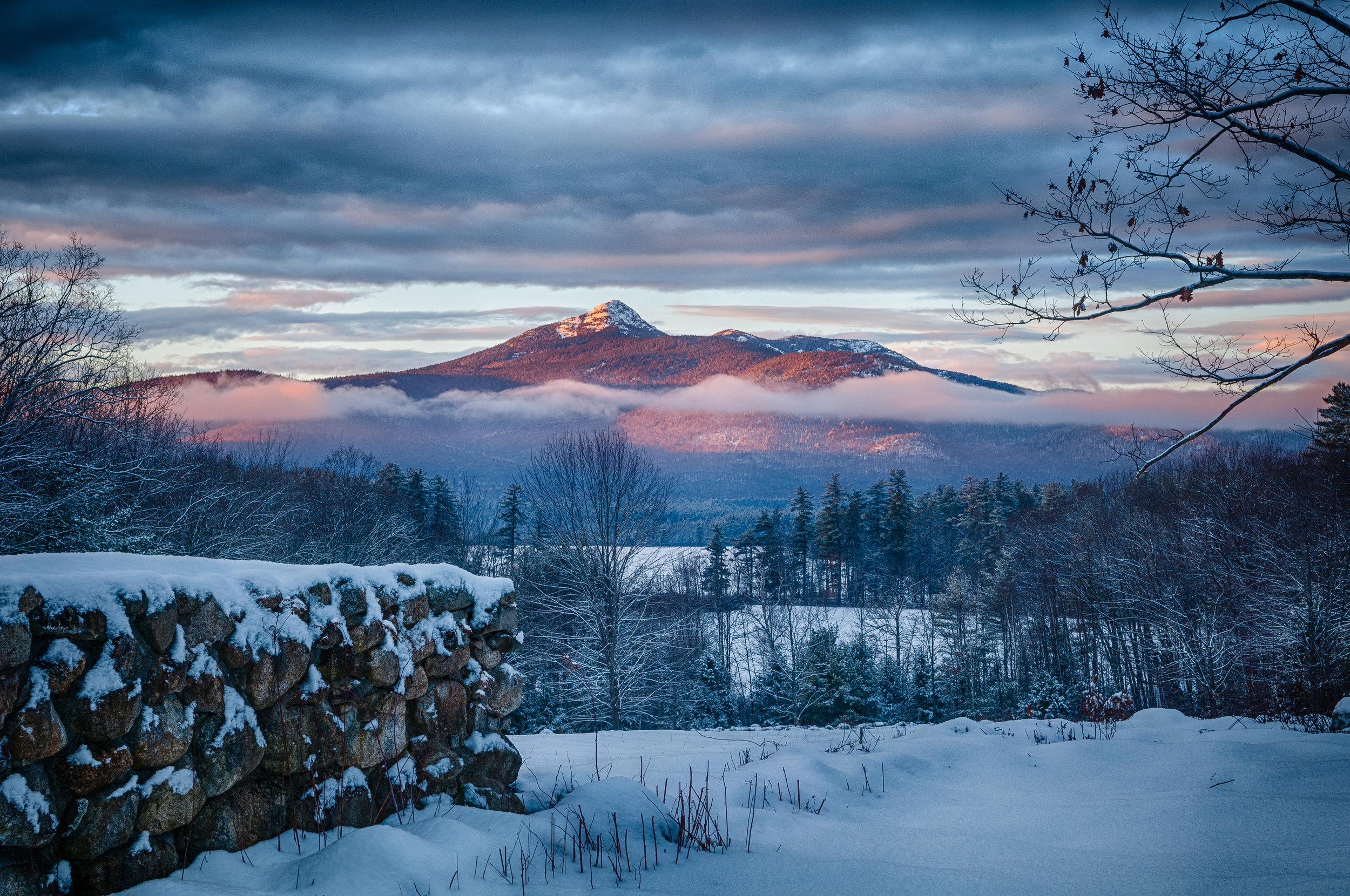
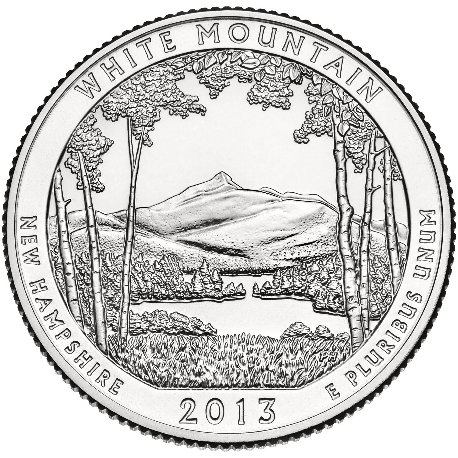
For decades, people cresting the hill from Chocorua and coming upon the view of Mount Chocorua with the lake spread below it have pulled their cars over and climbed out to take it in. It’s a popular spot for both landscape painters and photographers. One happy outcome of the CLC’s recent Timeless Chocorua capital campaign has been the opportunity to preserve the Basin View Lot in perpetuity, and to create safer access, with limited parking and a small viewing area. The view even shows up on our money! Chocorua Lake and Mount Chocorua were chosen to represent the White Mountain National Forest on a quarter released in 2013. This quarter is the 16th design in the America the Beautiful Quarters® Program.
Frank Bolles Nature reserve


The 247-acre Frank Bolles Nature Reserve is the perfect place for a quiet walk, noticing the many tiny wonders of the natural world we are part of, visible when we slow down enough to see them. Try closing your eyes and listening to all the sounds around you, too. You can find a trail map here.
The Bolles Reserve lies at the foot of Mount Chocorua and touches the northern shore of Chocorua Lake. Protected for its outstanding diversity, the preserve includes forest lands, wooded swamps, upland streams, woodland clearings, glacially formed kettle holes and eskers, and lake frontage. Each of these ecosystems supports a considerable array of plants and wildlife: approximately one hundred and sixty species each of flora and fauna have been observed within the preserve. Moose, black bear, white-tailed deer, porcupine, red fox, short-tailed weasel, raccoon, otter, and snowshoe hare are some of the species that occupy this unique natural area.
The Bolles Reserve is owned by The Nature Conservancy and co-managed by the Chocorua Lake Conservancy. It is open to the public for passive recreational, educational, and scientific uses. It was a gift from Evelyn Bolles Phenix, daughter of the late naturalist and writer Frank Bolles, in 1969.
The preserve is well buffered by thickly-wooded, privately-owned areas to the east and south. Just north is the White Mountain National Forest; the 268-acre Clark Reserve owned by the Chocorua Lake Conservancy lies along the preserve's western flank. Together, the Frank Bolles Nature Reserve and the Clark Reserve form a 518-acre natural area.
One of the most interesting features of the Frank Bolles Nature Reserve is Heron Pond (also known as "Lonely Lake"), an eight-acre kettle hole whose water level fluctuates in a strange manner not entirely related to water tables. At times, the water level is so low that the pond's small island is connected to the mainland on both sides, dividing Heron Pond into two ponds. On the neighboring Clark Reserve is "The Valley of the Boulders," an unusual deposit of large glacial boulders, many cleaved by frost action. From the shore of Chocorua Lake, the reserve's terrain rises gradually and steadily westward to an altitude of 1,100 feet at the summit of Bickford Heights. The peak is about thirty feet over the border into the Clark Reserve.
DIRECTIONS: From Chocorua Village, take NH Route 16 North 1.5 miles to Chocorua Lake Road on the left. Take Chocorua Lake Road 0.6 miles to an intersection, bear right. Bear right at sign that say "Mt. Trails." Follow sign that says DEAD END for 0.2 miles further. Parking for the Bolles Reserve (space for two to three cars) is on the left at the "Bolles Reserve and TNC Nature Sanctuary" sign. Please do not park in driveways. Follow the marked trail through private property to the beginning of the preserve.
Splitting Stone
East of the Old Mail Road trail and at the southeastern edge of the Clark Reserve is the “splitting stone,” a large granite boulder showing clear signs of past human activity. Granite slabs used for barn and house foundations during the 18th and 19th centuries were not always easy to find, but this area of the Clark Reserve has an abundance of granite scattered by receding glaciers thousands of years ago. Cutting granite in earlier times required hand tools, including a hammer and metal feathers and wedges—a time-consuming effort. This stone has been neatly cut, but was never taken anywhere. No one knows who worked at this stone or why it was abandoned here. Stop by for a visit and try to imagine cutting stones in the middle of this forest—or perhaps it was a field at the time—and “listen” for the clang of hammer on wedge.
The Valley of the Boulders
The Valley of the Boulders is located in the northern portion of the Clark Reserve where the forest is littered with boulders carried here by the glaciers over 14,000 years ago. Large erratics are also found in the mature forests of the preserve, some covered with beautiful and delicate lichens and moss. The mixed deciduous forest is home to an abundance of ephemeral wildflowers and nesting birds early in the spring and summer. The area can be reached by hiking the Old Mail Road from either the Scott Road trailhead parking area, or from Chocorua Lake Road. Along the way from Chocorua Lake Road, you will pass rocks and boulders piled with more rocks, evidence of past forest and land clearing for farming during the 1800s.
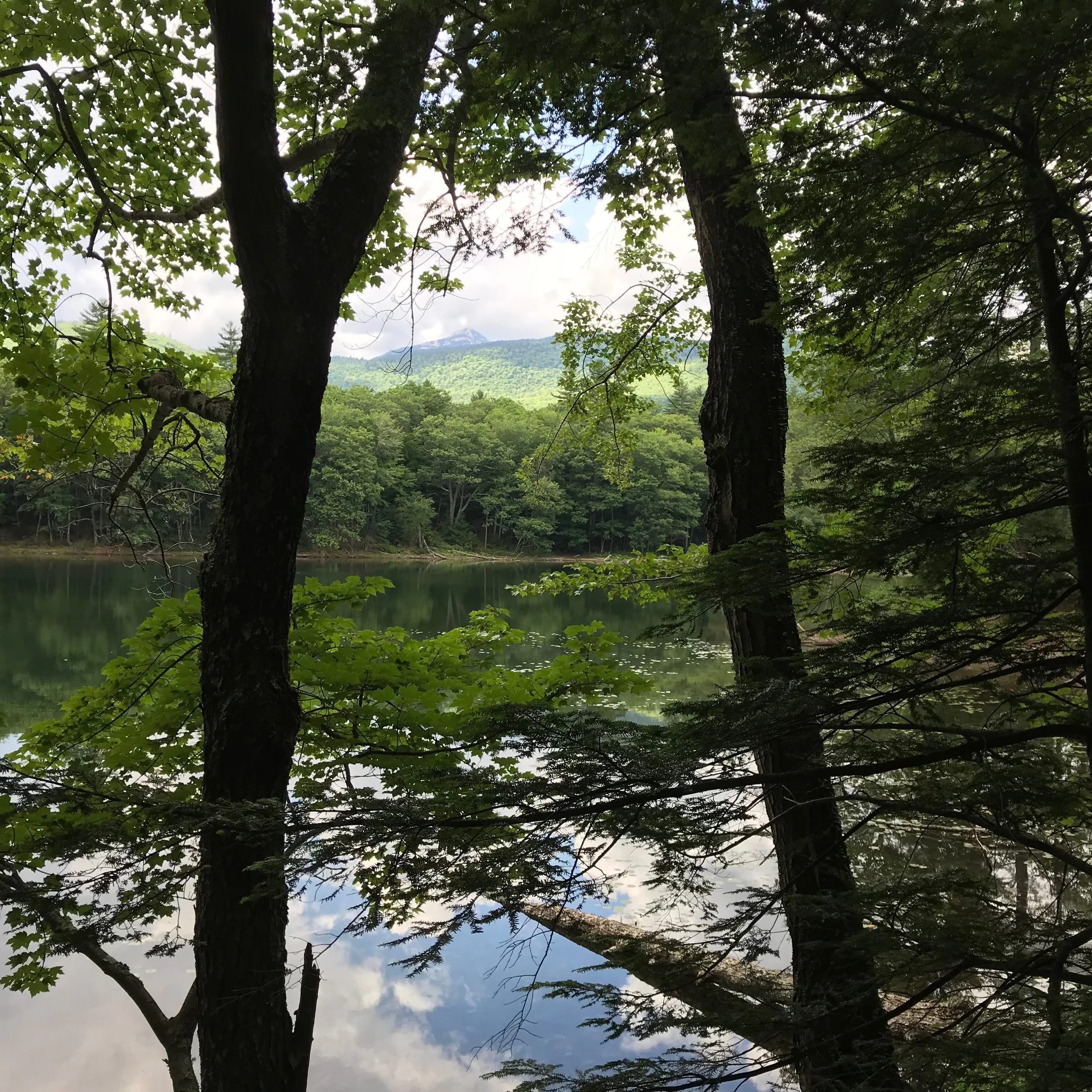
Banner: Mount Chocorua from Heron Pond. Photo: Juno Lamb